
If you’re planning to walk among Nevada’s bristlecone pines, the first thing to understand is that you’re not visiting a garden or a curated attraction. You’re going to see trees that were already old when the pyramids were new, and Nevada happens to have some of the best, least-crowded places on the planet to do it. I’ve spent a fair bit of time up in these high ranges, and I still find it a bit unsettling — in a good way — to stand next to a tree that started growing before writing existed.
What exactly is a Great Basin bristlecone pine?
The Great Basin bristlecone pine, Pinus longaeva, is a subalpine conifer native to Utah, Nevada, and eastern California. It’s one of three closely related bristlecone species, but this particular one has the reputation — individual trees have been dated to nearly 5,000 years old, putting them among the oldest known living organisms anywhere. Not the oldest organism full stop (there are some colonial fungi and clonal shrubs that get weird arguments made for them), but the oldest single, non-clonal living thing you can walk right up to and touch.
They don’t look like your average pine. Expect gnarled, twisted trunks, often half-dead and half-alive at the same time, with wood polished smooth by centuries of windblown ice and sand. They grow just below timberline, on rocky, exposed slopes where almost nothing else can survive — which, oddly enough, is part of why they live so long. Less competition, incredibly slow growth, and wood so dense with resin that decay organisms struggle to get a foothold.
Where in Nevada do bristlecones grow?
Across the state, bristlecones show up on many of the high ranges that make up the Great Basin, stretching from the Spring Mountains near Las Vegas all the way north to the Ruby Mountains. Beyond those two well-known areas, you’ll find populations in the Snake Range (home to Great Basin National Park), the Pequop Mountains around Spruce Mountain, the Goshute Mountains, and the White Pine Mountains, among others.
Elevation matters a lot here. In Nevada, bristlecones typically grow between about 8,000 and 10,800 feet, with a handful of stands pushing up toward 11,600 feet in certain ranges. The oldest individual trees tend to cluster in the harshest possible habitat — thin soil, brutal wind, minimal moisture — which sounds backwards until you realize that easier growing conditions just mean faster growth, softer wood, and a shorter life. The trees that struggle the most, live the longest.
Why bother walking among them in Nevada specifically?
People often describe it as walking back in time, and I won’t argue with the cliché because it’s genuinely true. You’re standing next to a living thing that predates most of recorded local history. What makes Nevada’s groves worth prioritising over the more famous ones in California’s White Mountains is the lack of crowds. Great Basin National Park in particular is one of the most underrated, lightly visited parks in the entire National Park System, and that solitude changes the experience completely.
For anyone planning an actual trip, there are really two main destinations worth building an itinerary around: Great Basin National Park in the Snake Range, and the Spring Mountains around Mt. Charleston, just outside Las Vegas. There’s also the more obscure Bristlecone Wilderness in the Egan Range near Ely, and various remote ridgelines scattered through other ranges, but those require a level of route-finding and self-sufficiency that’s a big step up from a marked trail.
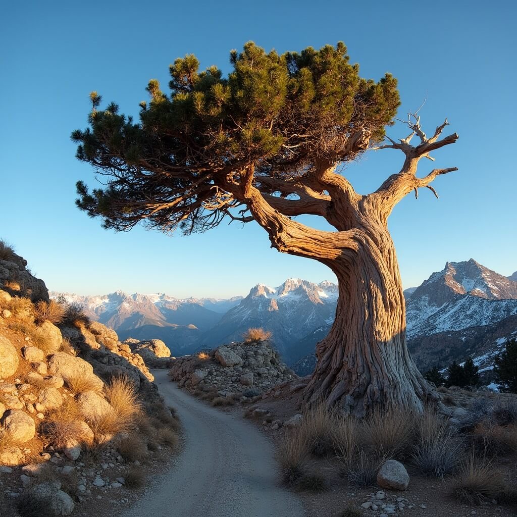
Great Basin National Park’s bristlecone groves
Great Basin National Park sits in eastern Nevada, in the Snake Range, close to the tiny town of Baker (postcode 89311, if you’re mapping it). It’s an odd, wonderful little park — alpine peaks, glacial cirques, limestone caves, and ancient bristlecone groves all packed into a relatively small, quiet corner of the state that most people drive straight past on their way to somewhere else.
The National Park Service recognises three principal bristlecone groves within the park: Wheeler Peak, Mount Washington, and Eagle Peak. They’re not equally accessible, and it’s worth knowing the differences before you plan your day.
- Wheeler Peak grove — the most accessible, with a proper maintained trail. This is where almost everyone goes.
- Mount Washington grove — the largest grove in the park, but genuinely difficult to reach, with no developed trail.
- Eagle Peak grove — remote, on a rugged ridge between the Snake Creek and Baker Creek drainages, for experienced backcountry hikers only.
Wheeler Peak Bristlecone Pine Grove
This is the one to aim for if you want a straightforward, rewarding walk without needing backcountry experience. The Bristlecone Trailhead sits near the end of the Wheeler Peak Scenic Drive, right by the Wheeler Peak Campground, and it’s the best-served trail access point in the entire park.
The Bristlecone Trail itself runs about 2.8 miles round trip with roughly 600 feet of elevation gain — moderate, not brutal, though the altitude will make you feel it more than the numbers suggest. The trail climbs through subalpine forest before opening into the grove itself, where some trees are pushing close to 5,000 years old. There’s a self-guided nature trail woven through part of the grove with signage explaining how these trees survive, and honestly, I’d budget more time than you think you need — I went up expecting a quick there-and-back walk one August morning and ended up spending nearly two hours just reading signs and staring at bark texture like an idiot.
During summer, park rangers often lead interpretive walks through the Wheeler Peak grove. If your schedule allows it, take one. The tree-ring science alone — how researchers have used bristlecone cores to build climate records stretching back thousands of years — is worth the detour, and rangers tend to know details that never make it onto the trailside signs.
For those wanting more distance, two extended routes build on the same trailhead. The Bristlecone–Glacier Trail is a 4.8-mile out-and-back that continues past the grove to a rock-rimmed cirque below what’s often called Nevada’s last glacier, the Wheeler Peak rock glacier. The Alpine Lakes, Bristlecone & Glacier Loop stretches to about 6.5 miles with 1,300 feet of elevation gain, stitching together bristlecone forest, alpine lakes, and some genuinely big mountain views. Neither is technically difficult, but both demand a reasonable fitness level given the altitude.
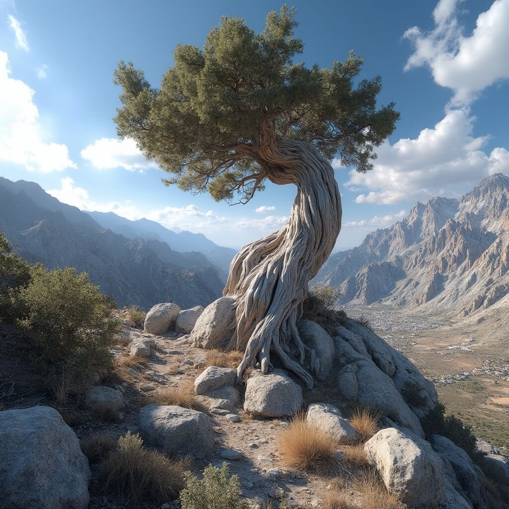
Mount Washington and Eagle Peak — for the more determined
Mount Washington holds the largest bristlecone grove in the park, but there’s no trail to it. None. You’re looking at GPS navigation, a high-clearance vehicle to get anywhere near the base, and genuine route-finding skill. It’s not a casual add-on to a park visit — it’s closer to an expedition, and I wouldn’t recommend it unless you’ve got backcountry experience and a very good reason to go.
Eagle Peak’s grove sits near the summit itself, at roughly 10,842 feet, on steep terrain between two drainages. Same story: unmaintained, informal routes, no safety net if something goes wrong. Fine for the right person, a bad idea for most visitors.
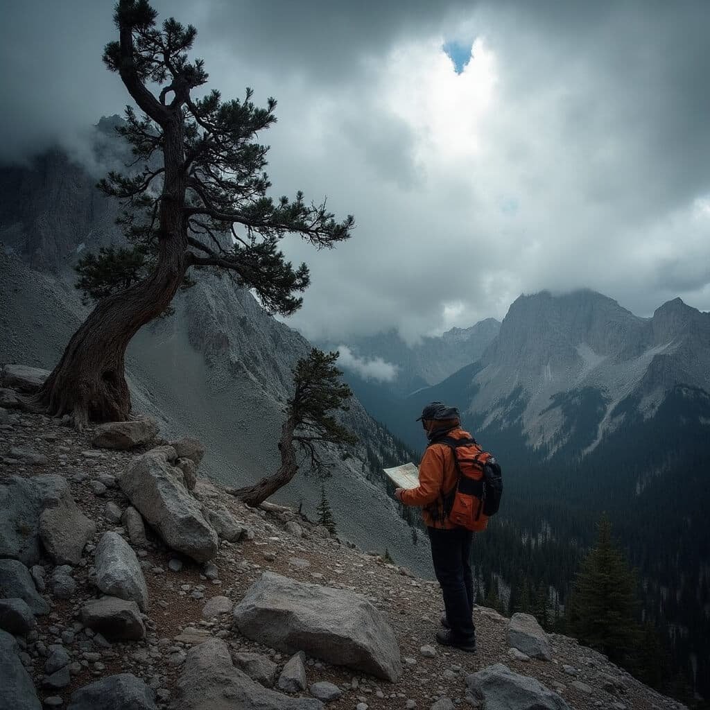
Practical matters for visiting Great Basin’s groves
Access here is heavily seasonal. The upper Wheeler Peak Scenic Drive stays snow-covered well into early summer some years, so anyone planning a trip should check current conditions rather than assume a June visit will work — I’ve heard of people arriving in late May only to find the road gated a few miles short of the trailhead. Once you’re up there, be ready for thin air above 10,000 feet and weather that can turn quickly even in July.
Save this article
Enter your email and we'll send it straight to your inbox.
The upside of Great Basin’s relative obscurity is real solitude. It’s one of the least-visited national parks in the country, and while the Bristlecone Trail sees a reasonable trickle of hikers in peak summer, it never feels crowded the way, say, a Zion trail does. As for rules: cutting or gathering wood in bristlecone habitat is prohibited, full stop, and Leave No Trace applies strictly given how fragile the alpine soils and root systems are here.
The Spring Mountains and Mt. Charleston, right outside Las Vegas
If a multi-hour drive to eastern Nevada isn’t in the cards, the Spring Mountains offer a genuinely excellent alternative less than an hour from the Las Vegas Strip. This range holds roughly 18,000 acres of bristlecone-dominated wilderness, and the scale of it surprises most people who only think of Vegas as desert and casinos.
The single-trunk record holder for the species actually grows here — on the northeast ridge of Mount Charleston, measuring 368 cm in diameter at breast height and standing 15.8 metres tall. Taken as a whole, the bristlecone stands across the Spring Mountains are sometimes described as the largest bristlecone pine woodland on Earth, which makes this range a serious destination in its own right, not just a consolation prize for people short on time.
👇Find The Cheapest Flights To Anywhere Here👇
The Bristlecone Trail in Lee Canyon
The main walking route here is the Bristlecone Trail, usually hiked as a loop, tucked into Lee Canyon on the north side of the Mt. Charleston area. You’ve got two options for trailheads: the Lower Bristlecone Trailhead, reached via a marked dirt road, or the Upper Bristlecone Trailhead, right at the end of Highway 156. Both sit near McWilliams Campground, and either way, you’re looking at a drive that’s genuinely easy from the city — no long haul across the state, no overnight stop required. I’ve done it as a half-day trip from a Vegas hotel room, which isn’t something you can say about many decent bristlecone walks.
The loop itself is named for what you’ll find along it, and it does a good job of introducing you to high-elevation conifer country without demanding much in the way of technical skill or backcountry know-how. You’re walking through mixed subalpine forest — ponderosa, white fir, some aspen depending on the drainage — before the bristlecones start appearing on the more exposed, rockier stretches of trail. The contrast is obvious even to someone who’s never given trees a second thought: the healthy-looking conifers give way to these stunted, contorted shapes that look almost sculptural, wood bleached pale by sun and wind.
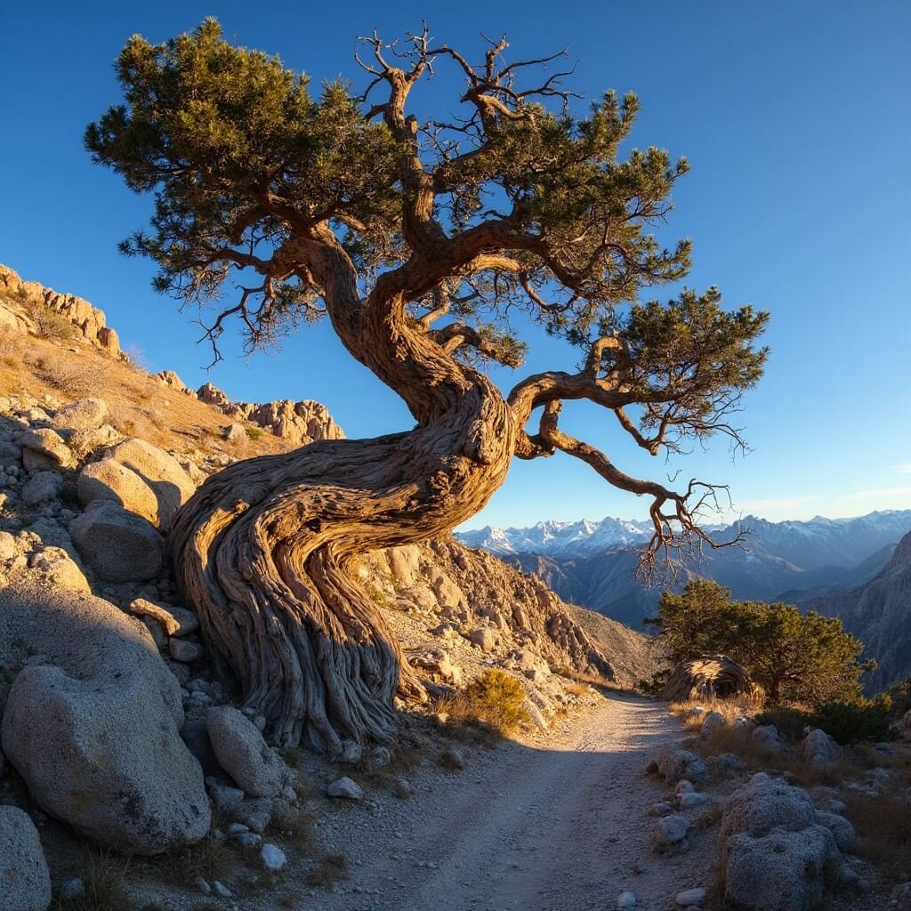
Compared with Wheeler Peak, the Lee Canyon trail feels a bit more forested and a bit less exposed for most of its length, which some people prefer if they’re not keen on long stretches above treeline. It’s also lower in elevation overall than the Great Basin groves, so altitude sickness is less of a concern, though you’re still working at a height where flatlanders from sea level will notice the thinner air on the climbs.
One thing worth flagging: because this trail sits so close to Las Vegas, it does see more casual foot traffic than anything in Great Basin National Park. Weekends in particular can bring out day-trippers escaping the heat of the valley floor, which makes sense — when it’s 42°C in the city, a forested trail at 8,500 feet with cool mountain air is an obvious draw. If solitude is the priority, go on a weekday morning, or push your visit into the shoulder season when the crowds thin out but the trail is still snow-free.
A few things I’d tell a friend before they go
I once made the mistake of underestimating how much water I’d need on a bristlecone hike, on the assumption that “high elevation forest” somehow meant cooler and less demanding than desert hiking. It doesn’t. The sun at 9,000-plus feet is brutal, there’s often very little shade once you’re actually among the bristlecones (that’s rather the point — they grow where nothing else can), and the dry air pulls moisture out of you faster than you’d expect. Carry more water than feels necessary. I now bring at least a litre more than I think I’ll need, every time, regardless of season.
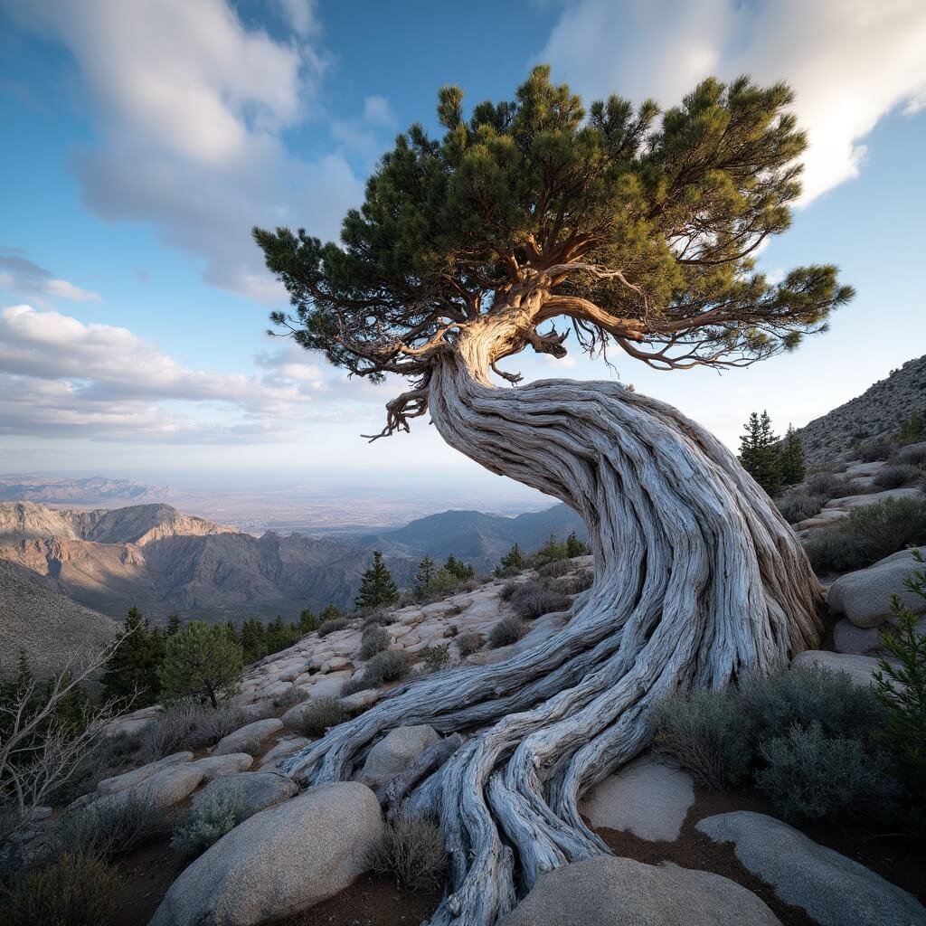
Timing matters more than people assume. Both Great Basin and the Spring Mountains have a narrow window — roughly July through September — when the higher trails are reliably clear of snow and the weather is stable enough for an enjoyable walk. Outside that window you’re gambling, and mountain weather in the Great Basin can turn from clear skies to hail in under thirty minutes. I’ve been caught out by this more than once and it’s not fun at 10,500 feet with no tree cover.
If you’re choosing between the two main destinations, my honest take is this: go to Great Basin National Park if you want quiet, depth, and the feeling of being somewhere genuinely remote, and go to the Spring Mountains if you’re short on time, based in or near Las Vegas, or want a slightly gentler introduction before committing to a longer trip east. Neither is a lesser option — they’re just different flavours of the same extraordinary thing.
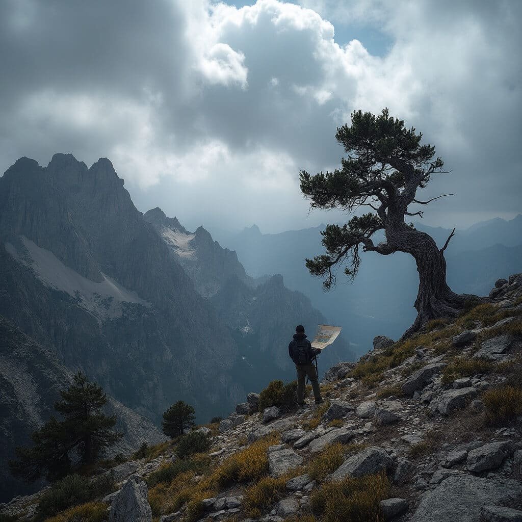
Whichever range you choose, treat the walk with a bit of reverence. These aren’t ordinary trees, and Nevada is one of the very few places left where you can walk among bristlecone pines that have been standing since before most of human civilisation took shape. Go slowly, stay on the trail, and don’t take anything home except the photos.
Take a Scenic Cruise on Lake Powell
Photograph The Wave in Arizona (Permit Required)
Hike the Kalalau Trail in Kauai
Take a Cave Tour in Jewel Cave National Monument
👇Ready To Book Your Trip?👇
This post may contain affiliate links. Please see my disclosure policy for details.
Want to keep this one?
We'll email you the link so you can find it again later.