
If you’re wondering whether Lava Beds National Monument is worth the drive, I’ll tell you straight away: yes, but it’s not a place you stumble into casually. This is a landscape built entirely from old volcanic violence, tucked into the high desert of northeastern California, about 31 miles south of Klamath Falls, Oregon, on the northern flank of the Medicine Lake shield volcano. It’s remote in a way that surprises people who assume “national monument” means visitor facilities on tap.
I’d position it as a destination for several different kinds of traveller, and that’s part of what makes it interesting. Total beginners can wander into a lit, easy cave and feel like intrepid explorers. Serious spelunkers and geology nerds can spend days working through the harder systems. Hikers, photographers, birders, campers, and history-minded travellers all have reasons to come, and so do people drawn specifically to Indigenous history and the Modoc War sites scattered across the monument. This article will walk you through what’s actually here, how to plan a visit that doesn’t go sideways, what the physical demands and seasonal quirks look like, and how to move through a place that’s both ecologically fragile and, for the Modoc people, sacred homeland rather than scenery.
Essential destination facts
The numbers here depend who you ask, which is itself worth knowing before you arrive. The National Park Service cites more than 800 caves within the monument, while the USGS puts the figure closer to 500 known lava-tube caves — the gap comes down to how caves are mapped and classified, not some sudden discovery of new tunnels. Either way, Lava Beds holds one of the densest concentrations of lava-tube caves anywhere in North America, which is reason enough to visit even before you factor in the human history layered on top.
The monument was established in 1925, and it has stayed remote in the decades since. There are no gas stations, no restaurants, no showers inside the boundary. Nearby services exist in Tionesta, Tulelake, California, and Merrill, Oregon — all generally 20 to 30 minutes from the visitor centre. I mention this early because it genuinely changes how you should plan the day. This isn’t a park where you can duck out for a sandwich.
How the lava tubes actually formed
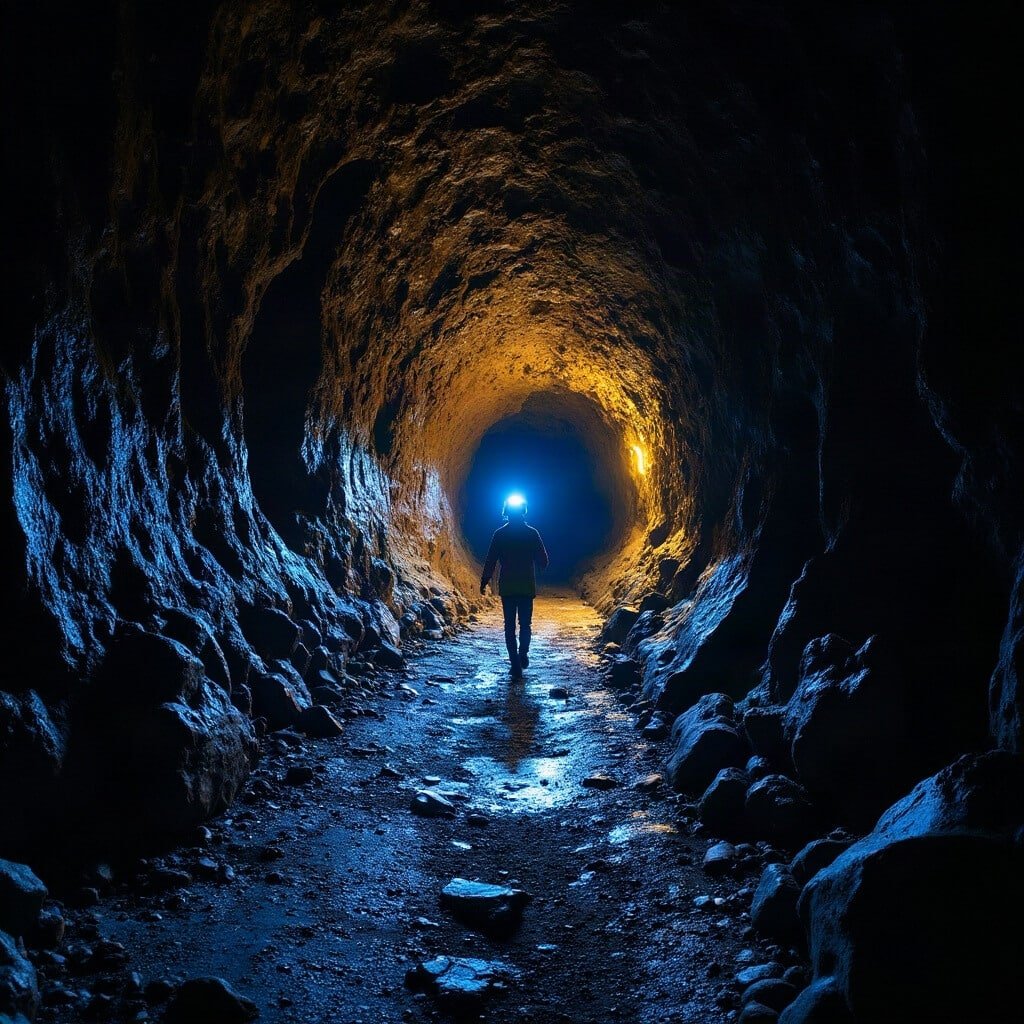
The caves make more sense once you understand the mechanics. Fluid basaltic lava poured out from vents tied to the Medicine Lake volcano system. As it flowed, the surface exposed to air cooled and hardened into a crust, while lava underneath kept moving, insulated and still molten. When the eruption eventually tapered off and the supply of lava dried up, the interior drained away downhill, leaving behind a hollow tube — essentially a lava river’s empty riverbed, preserved in rock.
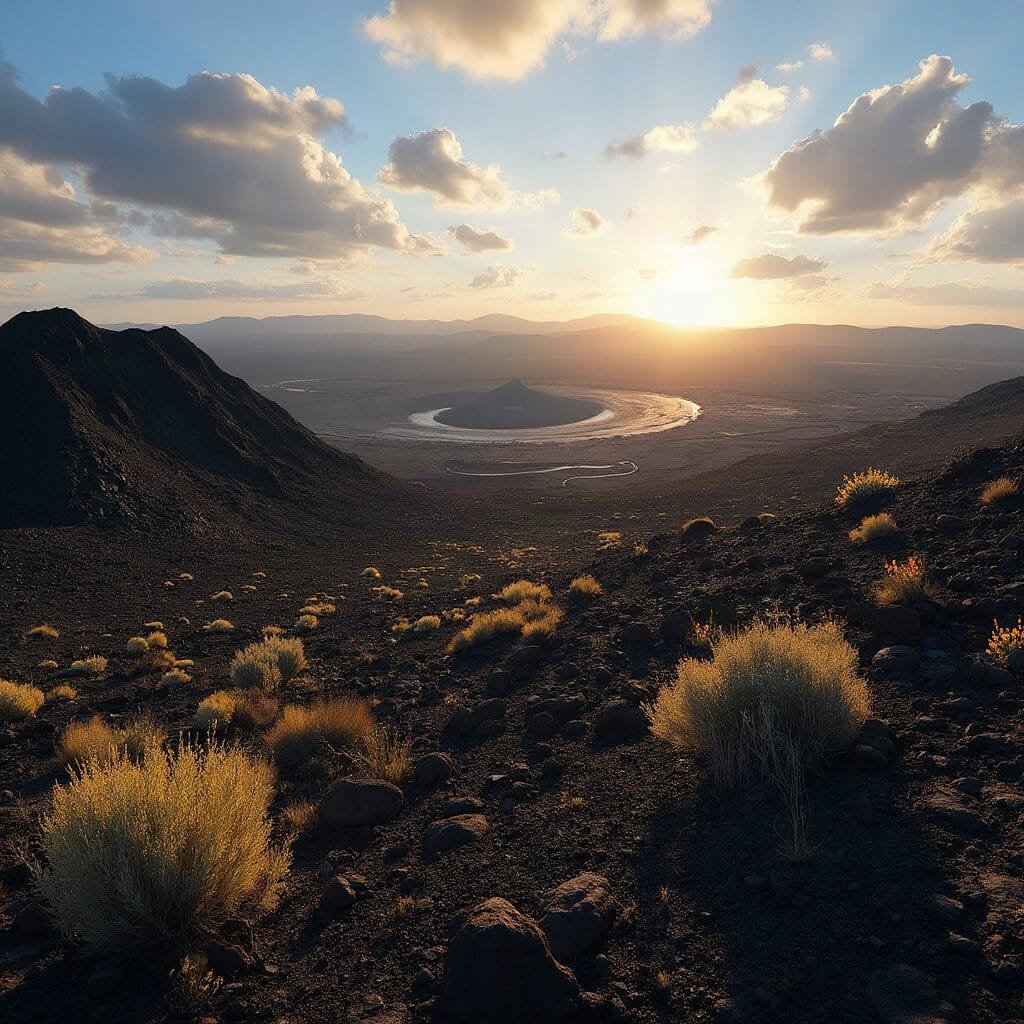
Basalt and basaltic andesite dominate the landscape, and one particular flow — Mammoth Crater lava — is the largest and most extensive volcanic unit in the monument, hosting a huge share of its caves. Above ground, you’ll see the whole volcanic catalogue: cinder cones, spatter cones, collapsed craters, sprawling lava fields, and places where a tube’s roof has caved in to form a skylight you can peer down into. The basalt itself is often jagged and sharp underfoot, interspersed with softer volcanic tuff.
Why the surface matters just as much as the caves
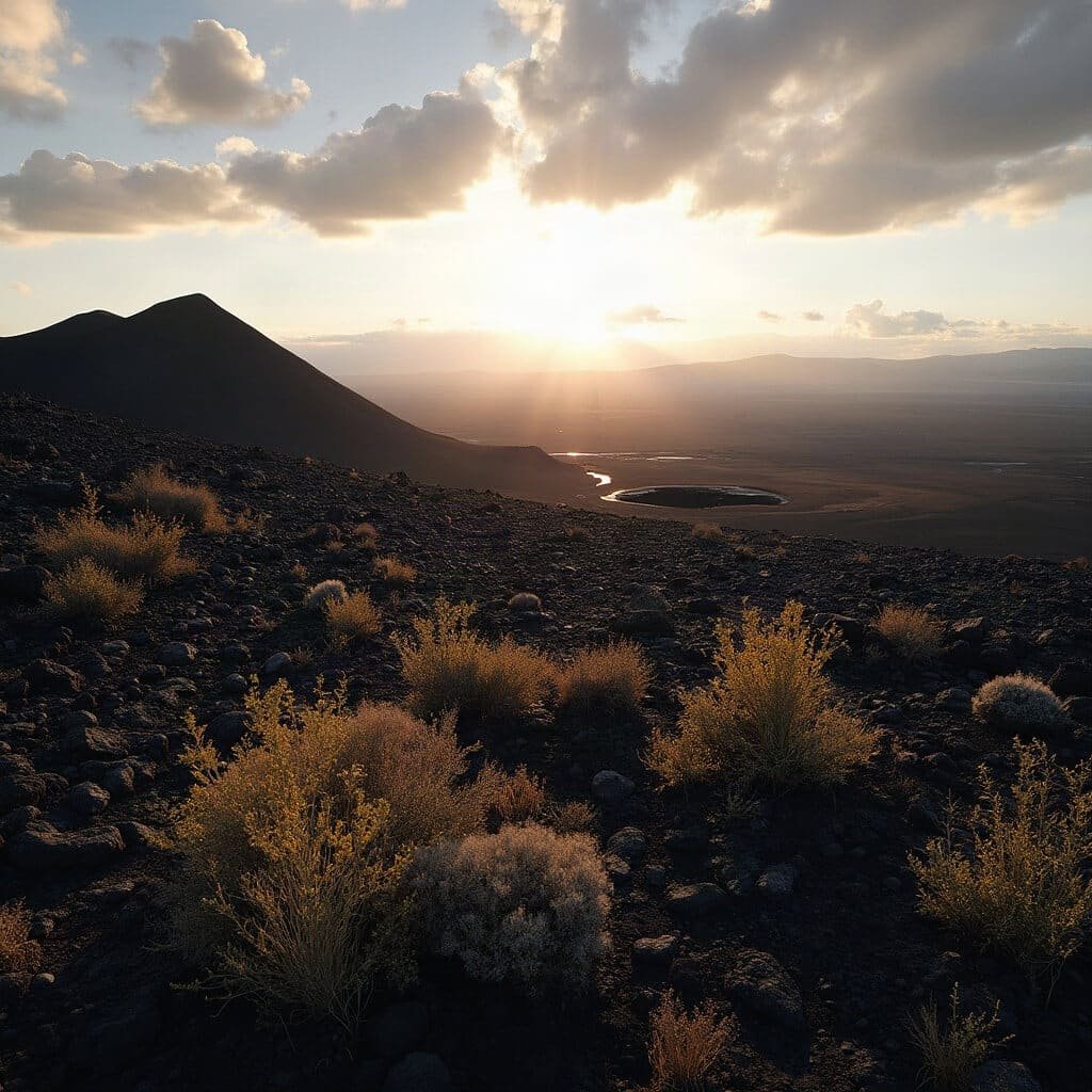
It’s tempting to treat Lava Beds as purely an underground destination, but that undersells the place. Above ground, you’re in a proper high-desert environment — thin soils, very little surface water, rugged and exposed. The contrast between what’s happening above and below ground is genuinely one of the more striking things about visiting.
Surface temperatures in summer can be brutal, while the caves sit at a nearly constant 55°F year-round. I’ve walked into a cave entrance in August sweating through my shirt and come out twenty minutes later properly cold, glad I’d brought a layer I almost left in the car. Some cave entrances hold snow and ice well into summer, purely because cold air sinks and pools there, sealed off from the sun.
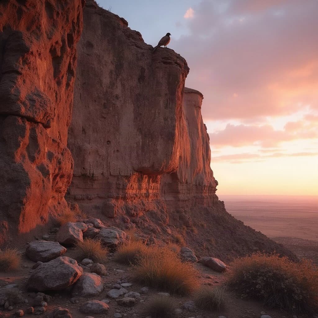
Wildlife here is adapted to the extremes. Keep an eye out for rattlesnakes, rodents, deer, and birds of prey. Petroglyph Point in particular is a nesting site for prairie falcons, red-tailed hawks, owls, and Canada geese, who use its cliffs and crevices — good reason not to get too close or too loud near the base of it. Underground, bats and other cave-dwelling creatures need the same consideration; don’t go poking around nests or burrows out of curiosity.
Choosing the best season to visit
Spring brings cooler hiking temperatures and, in a good year, wildflowers pushing up through the cinder. The trade-off is that snow, mud, or ice can still affect roads and cave entrances well into the season, and some caves along with southern access roads may still be closed.
Summer is when the park runs its full programme of ranger-led activities, and access is generally at its easiest. But the sun is unrelenting and shade is almost nonexistent. Whatever amount of water you think a short trail requires, bring more — I made the mistake of judging distance by the map rather than the heat once, on a one-mile loop that took far longer than expected because I kept stopping in whatever thin shade I could find.
Autumn tends to be a favourite for hiking and photography, with milder days, though you’ll want to watch for shifting weather and the possibility of wildfire smoke drifting in, which can trigger early closures.
Winter is quiet, sometimes beautifully so, with snow settling over the cinder cones. But services shrink further, cave entrances ice over, and roads can close. Some campground loops operate only seasonally, so don’t assume everything will be open just because the gate is.
Checking current conditions before you go
Because so much here depends on weather, wildlife protection, and cave hazards, the official NPS alerts and conditions page isn’t optional reading — it’s essential. As of 17 November 2026, that page reports all monument roads open, though it flags that roads approaching from the south are typically closed from November through mid-May depending on conditions.
Cave access shifts too. At the time of writing, Juniper, Hercules Leg, Sentinel, Lavabrook, Labyrinth, and Sunshine caves are closed until mid-April 2027. These closures aren’t arbitrary — they protect hibernating bats, cave ice, and fragile formations, and sometimes they’re about visitor safety during icy or unstable conditions. Whatever you read in this article or anywhere else, check the current page again right before you drive out. This is one destination where the “last updated” date actually matters.
Getting there and what to pack
Sort your fuel and food before you arrive — there’s nowhere to buy either once you’re inside. Beyond that, I’d treat this as a packing list rather than suggestions:
- Several litres of water per person, more than feels necessary
- Food and energy-dense snacks
- A full tank of fuel
- Offline maps and a proper navigation method, since mobile signal is patchy to nonexistent
- A basic first-aid kit
- Extra layers and something for rain
- Headlamps or torches, with spare batteries for each
Make the visitor centre your first stop, not an afterthought. Staff there can tell you which caves are currently open, how difficult each one is rated, and what safety concerns are active that week. They sometimes lend torches, and you can usually get hold of helmets, batteries, cave maps, gloves, and kneepads if you haven’t brought your own. There’s often a screening or permit step required before entering certain caves too, largely tied to bat conservation — don’t skip it just because it feels like a formality.
Cave difficulty — and how to pick the right one
The caves aren’t uniformly difficult, and the park groups them roughly into tiers.
The least demanding include Mushpot Cave (lit and the easiest introduction going), Valentine Cave, Sentinel Cave when it’s seasonally open, and Skull Cave, though that last one has some vehicle-access quirks worth checking beforehand.
Moderate caves — Golden Dome, Sunshine Cave when open, and Indian Well Cave — step things up with low ceilings, rougher floors, some stooping, and the odd ladder.
You’ll feel these more in your knees and your back than you expect.
The most challenging tier includes Hopkins Chocolate Cave, Labyrinth Cave, Hercules Leg Cave, and Juniper Cave when any of them are open, along with Catacombs Cave, which has a reputation for confusing passages once you go beyond its entrance section.
I’d genuinely avoid Catacombs unless you’re caving with someone experienced and carrying proper navigation gear — it’s the kind of place where “just a bit further” turns into a problem.
Worth remembering: difficulty isn’t just about how far a cave runs. A short cave can still demand crawling on your stomach through a gap you weren’t expecting. Low ceilings, sharp broken lava, loose rock, total darkness, and branching passages all add risk regardless of distance, so treat the posted difficulty ratings and current closures — available at the visitor centre and online — as more useful than the length listed on a map.
👇Find The Cheapest Flights To Anywhere Here👇
Starting with an easy cave if you’re new to this
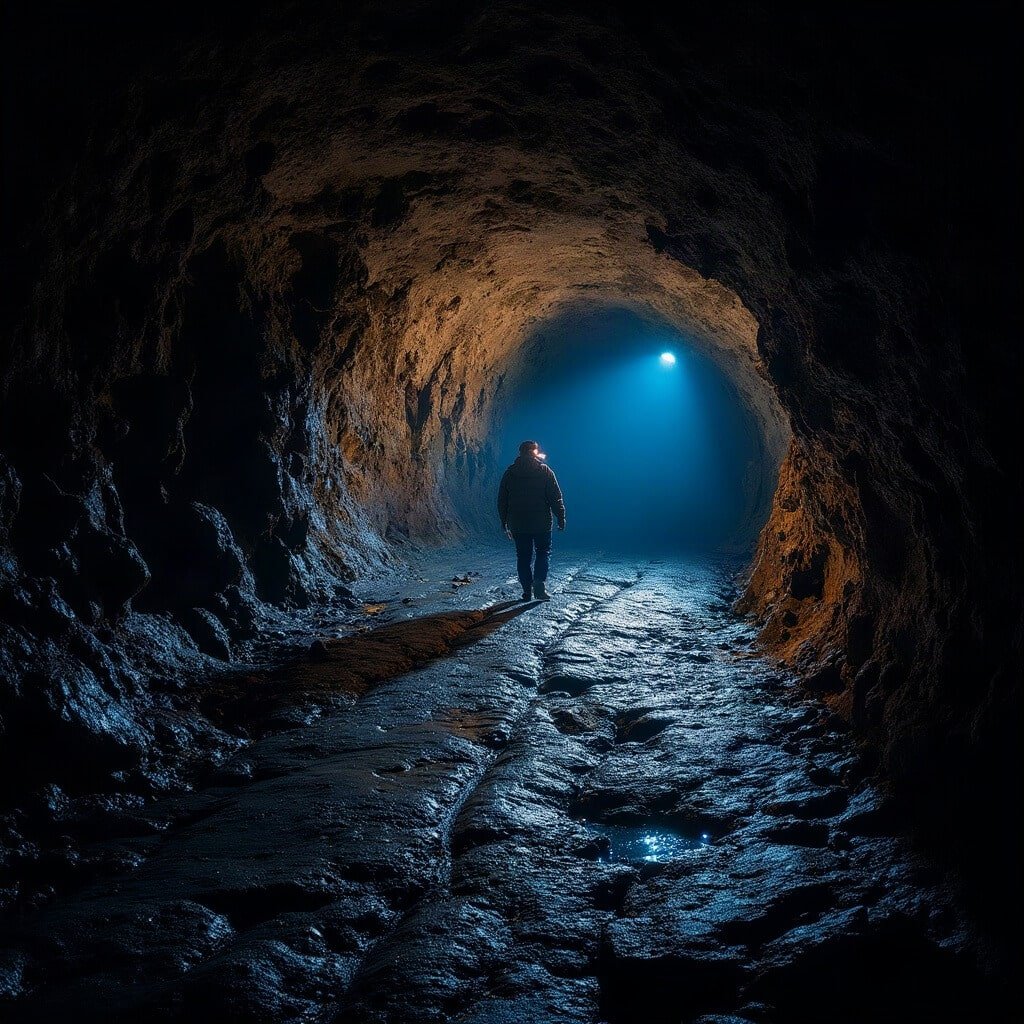
If you’ve never been underground before, don’t start with anything ambitious. Mushpot Cave is lit and sits right by the visitor centre, which makes it the obvious first stop — not because it’s dumbed down, but because it lets you work out how you actually feel about darkness, tight spaces, and uneven footing before you commit to something harder. I’ve seen people march confidently into a moderate cave assuming caving is just “walking, but underground,” and watch that confidence evaporate the moment they have to duck-walk through a low section with their knees complaining and their headlamp catching nothing but black ahead.
Expect some stooping. Expect short ladders or awkward steps down into the entrance. Expect cold that settles into your hands faster than you’d think, even in August. And expect that in a lot of these caves there’s no obvious “trail” underground in the way there is above ground — you’re following a passage, not a path, and that distinction matters more than it sounds like it should.
The sensible progression is to treat your first cave as a test, not a target. If everyone in your group is comfortable after Mushpot or Valentine, move up to something moderate like Golden Dome. If someone’s white-knuckling it through an easy cave, that’s useful information, not a failure — it just means the advanced caves aren’t for this trip.
Save this article
Enter your email and we'll send it straight to your inbox.
What cave safety actually requires
Never go into a cave alone. It sounds like standard outdoor advice until you’re the one who’s twisted an ankle in total darkness half a mile from the entrance with no phone signal, and then it sounds like the only piece of advice that mattered. Tell someone outside your group where you’re going and roughly when you expect to be back — the visitor centre staff are used to this and will often ask anyway. Read the National Park Service guidance on caving in the Lava Beds National Monument before you go.
Lighting redundancy isn’t a suggestion, it’s the difference between a bad afternoon and a genuine emergency. The NPS recommends at least three flashlights per group, and I’d go further and say every single person should carry their own personal light, not share one between two people. Batteries die. Bulbs fail. Someone drops their torch down a crevice — it happens more than you’d think in rock this jagged.
Dress properly: a helmet or bump hat, long sleeves, long trousers, and sturdy closed-toe shoes are non-negotiable, and gloves plus kneepads make a real difference in anything beyond the easiest caves. The physical hazards are mostly what you’d expect once you’re inside — low ceilings that locals half-jokingly call “headache rock,” sharp lava that will open your knuckles if you brace against it carelessly, loose or slick floors, the odd ladder or steep drop at an entrance, and the genuine possibility of losing your bearings at a junction that looks identical to three others you’ve just passed.
Beyond the physical stuff, there’s a health and conservation angle too. Keep clear of rodent nests and droppings, keep your hands out of holes and crevices you can’t see into, and don’t touch formations even when they look sturdy enough to handle — oils from skin degrade them over time in ways that aren’t obvious in the moment. Follow whatever seasonal closures are posted; they exist because of bats, not bureaucracy.
If you’re caving with children, supervise closely and don’t let anyone talk a nervous kid into a passage they’re not ready for. The right cave for your group is whichever one suits the least experienced or least confident person in it — not the one the most enthusiastic member wants to brag about afterward.
Cave etiquette that actually matters
Most caves require a permit before you go in, and this is tied directly to bat conservation efforts, so treat it as mandatory rather than a hoop to jump through. Once inside: no smoking or vaping, no food, no alcohol, no pets, no open flames. Don’t touch formations, don’t leave anything behind — no graffiti, no litter, no personal items wedged into crevices as some kind of marker. Don’t move rocks to “improve” a passage either; what looks like an obstacle might be structurally important.
The broader idea here is sometimes called caving softly — stick to established routes, keep your group small, keep noise and light pointed away from anywhere wildlife might be roosting, and be mindful that whatever you’ve picked up on your boots in one cave can hitch a ride into the next one. That last point matters more than it sounds; fungal spores and other contaminants move between cave systems on clothing and gear, and closures protecting hibernating bats or maternity colonies exist specifically because of that risk.
Aboveground sites worth your time
Captain Jacks Stronghold
This is where the lava landscape and the Modoc War intersect most directly. Captain Jack’s Stronghold is a network of natural lava trenches that the Modoc used as defensive positions during the war, and walking through it gives you a visceral sense of why the terrain mattered militarily — it’s confusing, broken ground, full of hiding places and sightlines that favour whoever already knows the land.
There are two route options: an inner trail of about half a mile and an outer trail of roughly 1.5 miles. I’d do the outer loop if you have the time and the legs for it, because it gives better context for how extensive the defensive position actually was. Read the interpretive signs as you go rather than rushing past them, and try to hold the Modoc perspective in mind rather than treating the trenches purely as a curiosity. Stick to the established path — the terrain is rough enough that wandering off it is both disrespectful and a decent way to turn an ankle. For more route information, see the NPS guide to hiking trails through the Lava Beds.
Petroglyph Point
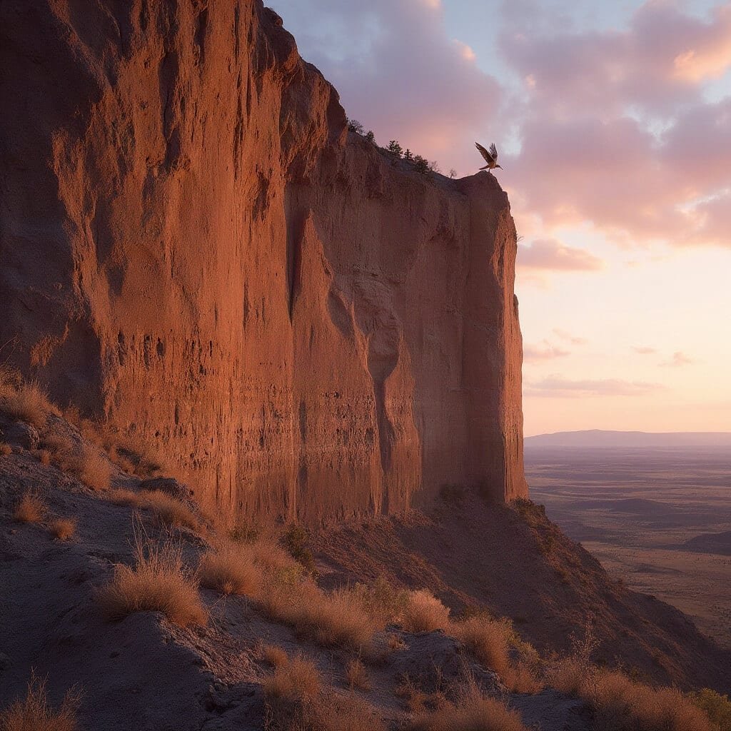
Petroglyph Point was once an island in the ancient, much larger Tule Lake, and the people who carved images into its soft volcanic rock reached it by boat. The imagery is tied to Modoc creation stories and sits within land that’s been home to the Modoc and their ancestors for a very long time — this isn’t decorative rock art, it’s a living cultural site.
Stay on the designated trail, and don’t touch, trace, chalk, or press anything against the rock to get a photo — contact damages the carvings in ways that aren’t always visible immediately. Closed cliff sections should stay closed, partly for your safety and partly because nesting birds use those ledges. I’d encourage you to spend longer here than feels necessary at first glance; it rewards slow looking rather than a quick photo and a walk back to the car.
Schonchin Butte
Schonchin Butte gives you the elevated view of the whole monument that the caves and trenches can’t. It’s a steep climb with very little shade, so this is one to do early in the day if you’re visiting in summer. Stay on the marked trail — the butte’s slopes are loose cinder in places and easy to slip on if you cut corners.
If your schedule allows it, sunrise or sunset from the top is worth rearranging your day for. The light across the lava fields at that hour makes the whole volcanic structure of the place legible in a way that’s harder to appreciate at midday.
Modoc War sites and battlefield landscapes
Beyond the Stronghold, the monument holds several other sites tied to the 1872–1873 Modoc War — Thomas-Wright Battlefield, Black Crater, and Gillem’s Camp among them. The short version of the history is that a relatively small Modoc group held off a far larger U.S. Army force for months during a brutal winter campaign, using the lava terrain to their advantage.
I’d push back gently against treating these sites purely as adventure stops. They’re genuinely interesting from a military-history angle, but they’re also sites of displacement, resistance, and loss for the Modoc people, and the consequences of the war — forced removal, broken promises, lives lost on both sides — are worth sitting with rather than skipping past on the way to the next viewpoint.
Camping at Lava Beds
The one developed campground handles tents and small-to-medium RVs, with water spigots, bathrooms, and a summer amphitheatre for ranger programmes. Sites are generally first-come, first-served, so arrive earlier than you think you need to, particularly in summer. Check current fees and loop availability before you go, since conditions shift.
Don’t expect luxury. This is primitive camping by most standards — bring your own food, water, lighting, and warm layers regardless of season, because desert nights get cold fast even after scorching days.
If you’d rather camp in the backcountry, the appeal is obvious: solitude, properly dark skies, and a closer feel for the high-desert landscape than the campground offers. Groups are capped at 12 people, and current NPS guidance requires camping at least 100 yards from caves and a quarter mile from roads, trailheads, and parking areas. Open fires aren’t allowed out there, though gas stoves are fine. Practice Leave No Trace properly — use existing sites, pack out everything you bring in, skip the fire ring, and deal with human waste according to NPS guidance rather than improvising.
Camping does have real drawbacks worth weighing honestly: services are minimal, temperatures swing hard between day and night, wind and dust can be relentless, and the first-come system means you might arrive to a full campground with no backup plan. Against that, you get earlier access to the caves before day-trippers arrive, more time for golden-hour photography, and a lot less driving in and out of a genuinely remote area.
Staying safe in a waterless, wild landscape
There’s no surface water anywhere in the monument, which is easy to forget when you’re staring at a trail that’s barely a mile long. Carry water even for the short walks, plan anything strenuous for morning or evening in hot weather, and don’t skimp on sun protection — a broad-brimmed hat, proper sunscreen, long sleeves if you can stand them, and sunglasses all earn their place in your pack.
Rattlesnakes are part of the territory, so watch where you step and where you put your hands, especially around rocks and brush. If one gives you the warning buzz, back away slowly rather than freezing or bolting. Mountain lions are present too, though rarely seen; avoid hiking solo at dawn or dusk when they’re more active, and if you do encounter one, don’t run — make yourself look as large as possible and back away deliberately. Rodents around campsites and cave entrances can carry disease, so keep food sealed and don’t handle them even if one looks tame enough to approach.
None of this should put you off. It should just inform how you pack and how you pace your days. If you’re after one honest recommendation: give yourself at least two full days here rather than treating it as a drive-through stop on the way to somewhere else — Lava Beds National Monument rewards the kind of unhurried, well-prepared visit that lets you actually get underground, up a butte, and into the history, rather than just glimpsing all three from a car window.
For other outdoor and nature adventures, explore Go Whitewater Rafting in West Virginia, Experience the Wildflowers in Texas Hill Country, Walk Among the Bristlecone Pines in Nevada, and Go Whale Watching in Monterey Bay. For another historic site, see Visit the USS Arizona Memorial in Pearl Harbor.
👇Ready To Book Your Trip?👇
This post may contain affiliate links. Please see my disclosure policy for details.
Want to keep this one?
We'll email you the link so you can find it again later.