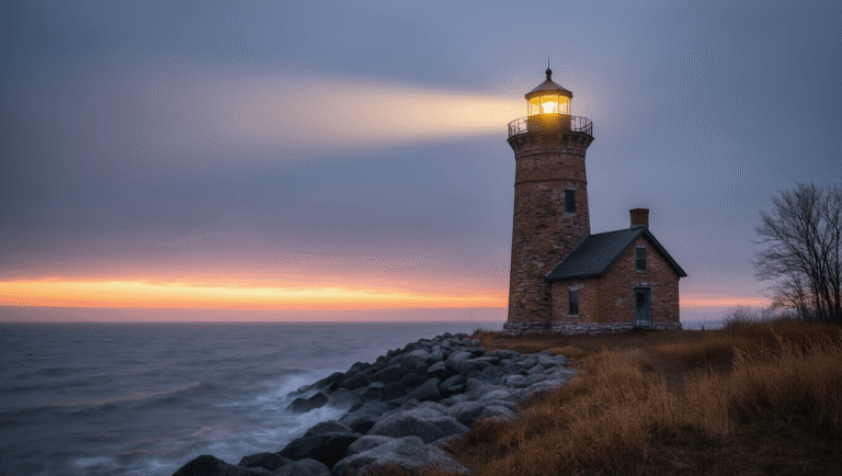

If you’re wondering whether the Tunnel of Trees drive lives up to its reputation, I’ll save you some scrolling: yes, but with a caveat that matters more this year than most. This is one of those Michigan routes that gets talked about constantly, and for once the hype is mostly earned. But there’s a road closure situation right now that changes how you should plan the trip, so bear with me while I get into both the romantic bit and the practical bit.
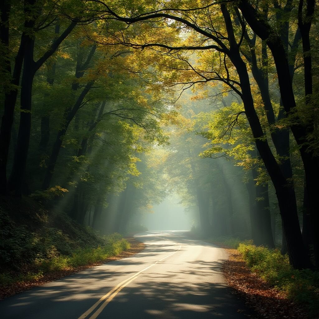
The Tunnel of Trees is the nickname for a stretch of M-119, a scenic heritage route that runs along the Lake Michigan shoreline in the northwest corner of the state’s Lower Peninsula. The official designation covers about 20 miles between Harbor Springs and Cross Village, though the “tunnel” feeling — where hardwood branches arch over the narrow road and blot out most of the sky — really only kicks in properly once you’re a few miles north of Harbor Springs. The road sits up on a bluff, sometimes 100 to 200 feet above the water, cutting through sugar maple, American beech, and white ash forest that’s genuinely lovely in a way that photos don’t quite capture. You get glimpses of Lake Michigan through gaps in the trees, and then the canopy closes back over you like someone’s pulled a curtain shut.
It’s north of Petoskey, and M-119 technically starts down near US-31 before it becomes something worth talking about. I wouldn’t blame anyone for not knowing exactly where Cross Village is — it’s a proper blink-and-you’ll-miss-it lakeside community, and that’s rather the point.
Why People Rave About This Drive
Every Michigan travel list has this route on it somewhere, usually described with words like “bucket-list” and “gem,” which normally makes me suspicious. In this case the fuss is fair. It’s not a spectacular drive in the way that, say, the Blue Ridge Parkway is spectacular — there’s no dramatic elevation change, no hairpin mountain switchbacks. What you get instead is something more intimate: a genuinely narrow, old-fashioned road with no center line in places, winding through unbroken forest with the lake flickering in and out of view. The state has designated it a Scenic Heritage Route, which sounds bureaucratic but does reflect something real about its cultural and environmental value — this isn’t a manufactured tourist road, it’s a working highway that happens to be beautiful.
How Long Is the Tunnel of Trees and How Long Does It Take
The full M-119 corridor runs about 27 miles from US-31 in Petoskey up to Cross Village. But when people say “Tunnel of Trees,” they usually mean the northern 20-mile stretch from Harbor Springs onward, and that’s the bit worth prioritising if you’re short on time.
Driving it non-stop, at the posted limits — which range from a crawling 10 mph on the tightest curves up to 45 mph on the straighter bits — takes somewhere between 30 and 48 minutes one way. Most guides settle on 40 to 45 minutes as a realistic average. I’d plan for the higher end of that range rather than the lower; the road doesn’t let you hurry, and honestly you shouldn’t want to.
Nobody actually drives it in 45 minutes, though. If you’re stopping for photos, a coffee, a wander around a general store or a farm stand, budget two to three hours. That’s the number I’d give a friend, and it’s the number nearly every source agrees on too.
As for direction: you can do it either way, Harbor Springs to Cross Village or the reverse, and it won’t ruin your day either way. Some people reckon northbound gives slightly better views as the road climbs toward Cross Village, but I’ve done both and the difference is marginal. Most itineraries run Petoskey → Harbor Springs → Cross Village, then loop back on a different road, which I’d recommend simply because retracing the same 20 miles twice feels a bit repetitive.
When to Go
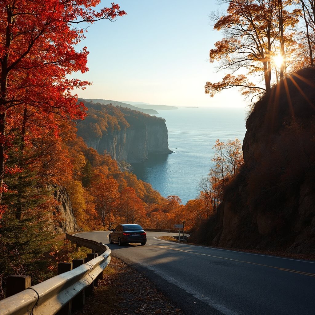
Early October is the obvious answer, and for once the obvious answer is correct. The sugar maples hit somewhere around 75 to 85 percent colour change in the first week of the month, with the northern half of the route (up near Cross Village) peaking around October 1st to 7th, and the southern half a few days behind that, roughly October 5th to 12th. If you’re chasing that classic tunnel-of-fire-coloured-leaves photo, that’s your window, though it’s narrow and weather-dependent, so don’t bank everything on hitting it precisely.
Summer is the easier option if you don’t want to gamble on foliage timing. The canopy is fully green and dense, the lake breeze takes the edge off the heat, and the small businesses along the route — farms, general stores — are all open and properly staffed. Spring gets less attention in the guides, but I’d wager it’s underrated: fewer crowds, fresh leaves coming in, and you’re not fighting anyone for a parking spot at Pond Hill Farm.
Winter is a different matter entirely. The road stays open, technically, but it’s narrow, curvy, and has no center line in places even in good weather — add snow and ice and it becomes a proper test of nerve rather than a pleasant drive. I wouldn’t recommend it unless you already know the road well or you’re just passing through out of necessity.
As for time of day, I’d nudge you toward the first couple of hours after sunrise if photography is your priority — the low light comes through the canopy at an angle that makes the whole tunnel effect look almost theatrical. I tried this once on a cold morning in late September, around 7:30am, coffee going lukewarm in the cup holder, and had the entire overlook near mile nine to myself for a good twenty minutes. Nobody else showed up until I was halfway back to the car. If you’re doing a one-way trip and want dramatic evening light instead, starting about an hour before sunset works too, though a few local guides suggest avoiding true dusk — visibility drops and deer sightings go up, which is not a combination you want on a road this narrow.
A Word on the Road Itself
M-119 through the tunnel section is not a road you can zone out on. There’s no center line for stretches of it, the shoulders are minimal to non-existent, and the curves come quickly enough that the posted limits — sometimes as low as 10 mph — aren’t just being cautious for the sake of it. If you’re hauling anything large, a bigger RV or a wide trailer, I’d think twice. It’s not impossible, but it’s stressful, and you’ll be the person everyone’s queued up behind on a blind bend.
There’s no fee to drive it — it’s a public state highway, open in principle 24 hours a day, subject to the same weather and closures as any road up there. Which brings me to the thing you really need to know before you plan this trip around a single glorious weekend.
The Road Isn’t Fully Open Right Now
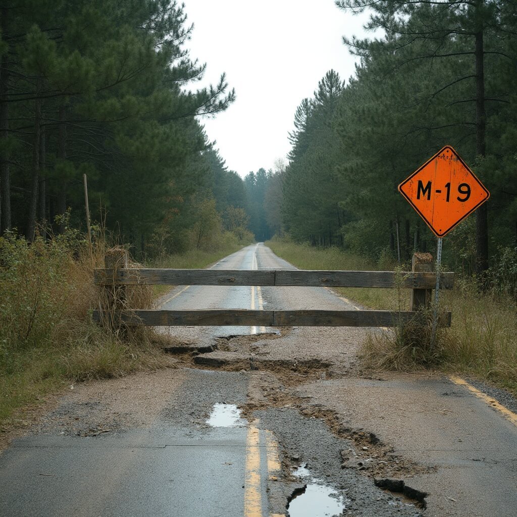
Here’s the part that a lot of older articles about this drive simply don’t mention, because it’s recent: as of mid-2026, sections of M-119 are washed out and impassable. This isn’t a minor pothole situation — it’s flooding and erosion damage serious enough that local tourism boards and lodging operators are being upfront that the full continuous drive from Harbor Springs to Cross Village isn’t currently possible as one unbroken route.
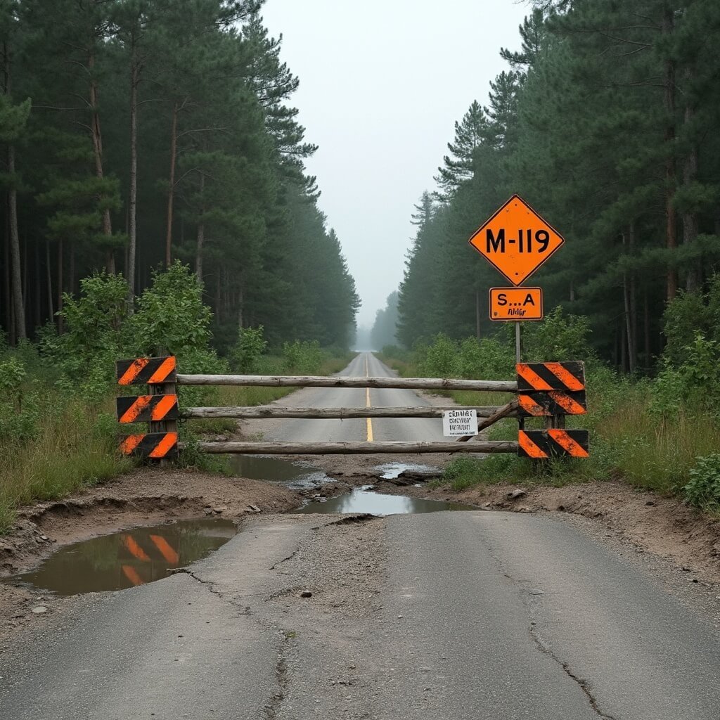
Specifically, two segments are closed to through traffic. The stretch from Terpening Road to Robinson Road in Good Hart is restricted to residents and business owners only. And separately, the section between Island View Road and Cross Village is also closed. The Petoskey area tourism authority has confirmed washout-related impassable sections as recently as July 2026, so this isn’t old news that’s since been resolved.
If you still want to reach Good Hart during the closure, the workaround is to leave M-119 at Terpening Road, then thread through Stutsmanville Road, Townline or Church Road, and back in via Robinson Road. To reach Cross Village, skip M-119 altogether past a certain point and take State Road north out of Harbor Springs instead — longer, less scenic, but it gets you there.
Practically speaking, I’d treat this as three separate mini-destinations rather than one seamless drive this year: the southern stretch out of Harbor Springs, Good Hart via the detour roads, and Cross Village via State Road. Not the romantic single-shot drive everyone writes about, but still worth doing in pieces.
Save this article
Enter your email and we'll send it straight to your inbox.
For more ways to enjoy the fall season in Michigan, consider exploring Autumn Front Porch Decor Ideas.
👇Find The Cheapest Flights To Anywhere Here👇
Before You Set Off
It’s worth spending five minutes on the MDOT MiDrive site and the Petoskey Area tourism closure page, because these things shift week to week depending on repair progress and weather. I checked three different sources before writing this and got three slightly different pictures of exactly where the barriers were — which tells you less about sloppy reporting and more about how fluid the situation currently is. Ring ahead to wherever you’re staying if you can. Local innkeepers tend to know the ground truth better than any website.
Working Through the Route Section by Section
Assuming you’re doing this in pieces, here’s roughly how it breaks down.
You’ll start on US-31 out of Petoskey, then peel off onto M-119 toward Harbor Springs. This opening seven to ten miles isn’t really the tunnel yet — it’s pleasant enough, but you’re still in fairly open country with the odd view of the bay. Think of it as the runway rather than the flight.
Harbor Springs itself is worth slowing down for regardless of what the road ahead looks like. It’s a proper little town, not a strip of tourist tat — a working marina, decent galleries, a few restaurants I’d happily eat at twice. Fuel up here, use the loo, buy whatever snacks you think you’ll want, because once you’re past it the amenities thin out fast.
The tunnel proper starts just north of downtown. The first five miles or so, taking about ten minutes without stopping, bring you to Pond Hill Farm, and I’d stop there even if I were in a hurry, which I wasn’t the time I visited and don’t regret it. It’s a working farm with a cidery, a market, and enough seasonal activity — pumpkin picking in autumn, that sort of thing — to justify half an hour out of the car. I bought a jar of honey there once purely because the woman at the till was so cheerful about recommending it, and it turned out to be excellent, so no complaints.
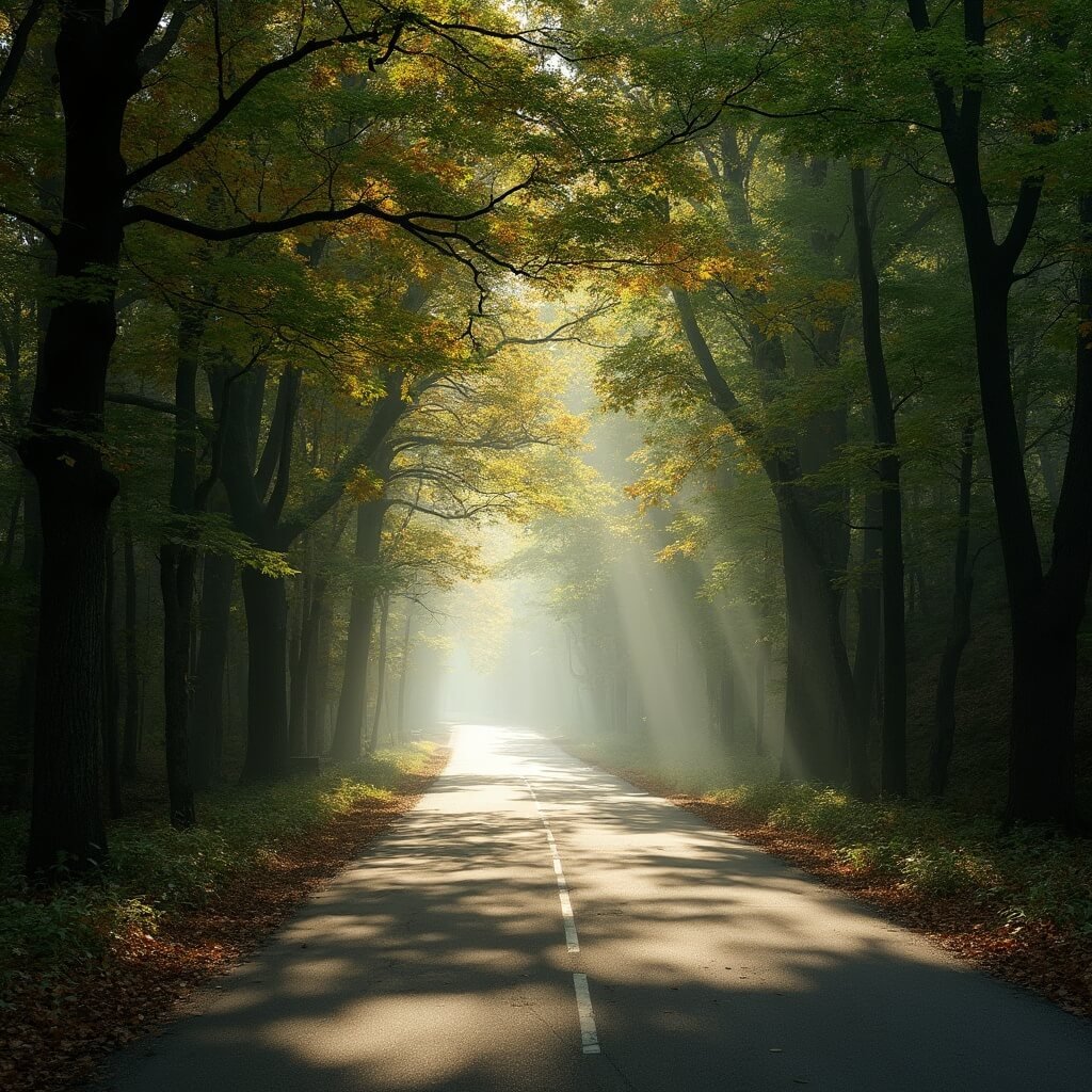
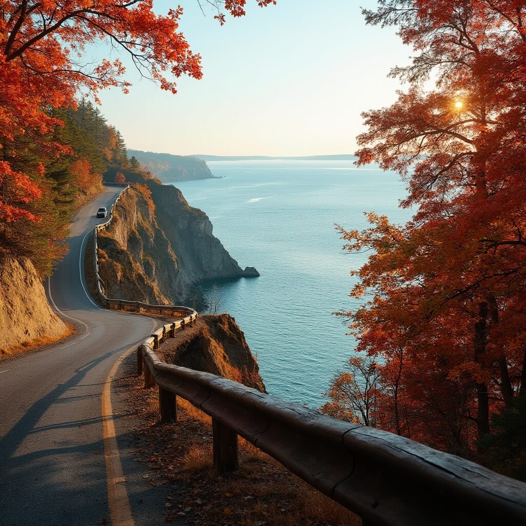
From Pond Hill Farm to Good Hart is another five to seven miles, another fifteen minutes or so of driving. Somewhere around mile nine there’s an overlook that gives you the best uninterrupted view of Lake Michigan on the whole route — this is the spot I had to myself that September morning. Good Hart itself is barely a village, more a general store and a scattering of houses, but the store is the real thing: creaky floorboards, homemade pies, the works.
Past Good Hart is where the road commits fully to being the Tunnel of Trees, the canopy thickening and the bluff dropping away on your left. This stretch, roughly ten miles into Cross Village, is the one everyone’s actually picturing when they recommend the drive. Cross Village at the end is small and a bit sleepy, with some genuinely old buildings and lake access if you fancy dipping your toes in.
Given the current closures, you may not get to string all of this together in one go. That’s fine. Do Harbor Springs to Pond Hill Farm as one outing, come back another day for Good Hart via the detour, and treat Cross Village as its own half-day trip via State Road. It’s less elegant than the postcard version, but you still see everything that matters.
Other Stops Worth Building In
A few things I’d try to fit in if time allows:
- Thorne Swift Nature Preserve, just north of Harbor Springs, has walking trails and a genuinely nice stretch of Lake Michigan beach — a good leg-stretch if you’ve been sitting in the car longer than planned.
- The various unmarked pull-offs along the bluff are easy to miss if you’re not paying attention, so slow down whenever the trees briefly part on your left.
- Pond Hill Farm, mentioned above, is the one stop I’d genuinely prioritise over the others if you can only manage one.
None of this needs much planning beyond deciding roughly how much time you’ve got and whether you’re the sort of person who can drive past a farm stand without stopping. I can’t, and I don’t think you should try to either.
If I were advising a friend right now, I’d say: don’t cancel the trip because of the washouts, but do call ahead, check MiDrive the morning you leave, and go in expecting three separate scenic outings rather than one continuous tunnel of trees drive. It’s still one of the best short drives in Michigan — just come this year with slightly adjusted expectations and a full tank of patience for detour roads.
To explore more adventures, take a look at our guide to Lighthouses of the Great Lakes or consider a scenic cruise on Lake Powell.
👇Ready To Book Your Trip?👇
This post may contain affiliate links. Please see my disclosure policy for details.
Want to keep this one?
We'll email you the link so you can find it again later.